Big Sur – The name always conjures-up thoughts of stunning cliff top Pacific Ocean lined scenery.
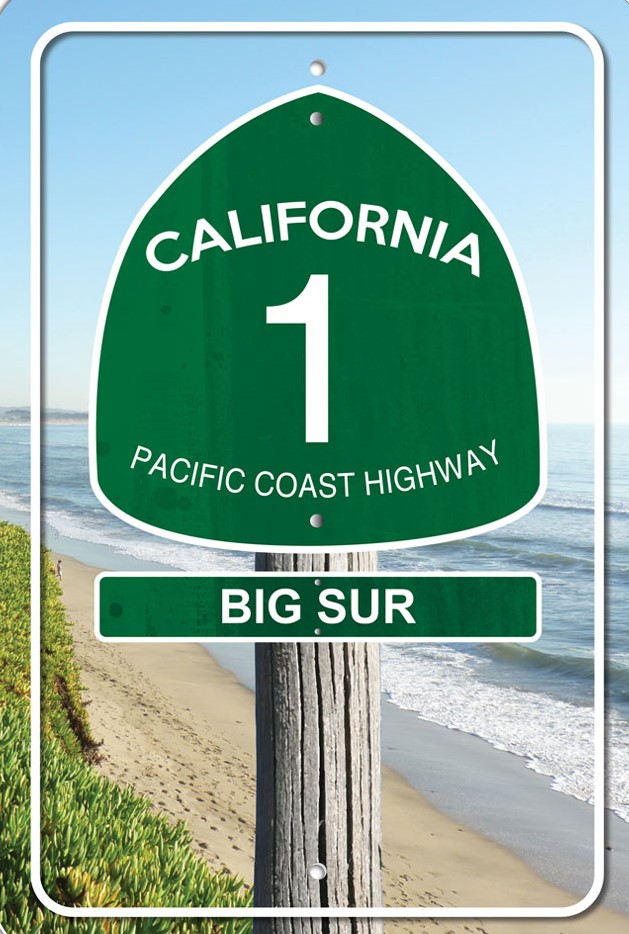 We took the drive along portion of Highway 1 earlier this year.
The State of California realising the worth of the region in 1965 designated the 72-mile (116 klm) long section of the highway as the first ‘California Scenic Highway’.
A year later in 1966, Ladybird Johnson and the wife of President Johnson led the official designation ceremony at Bixby Creek Bridge.
The same year, the road became one of the first in the States designated an ‘All-American Road’ by the federal government.
The great aspect driving Big Sur, and apart from the postcard scenery at every bend and turn, is the absence of unsightly billboards and banners or any sort so that any business lining the ‘designated’ route is restricted by law to what signs they can have on show.
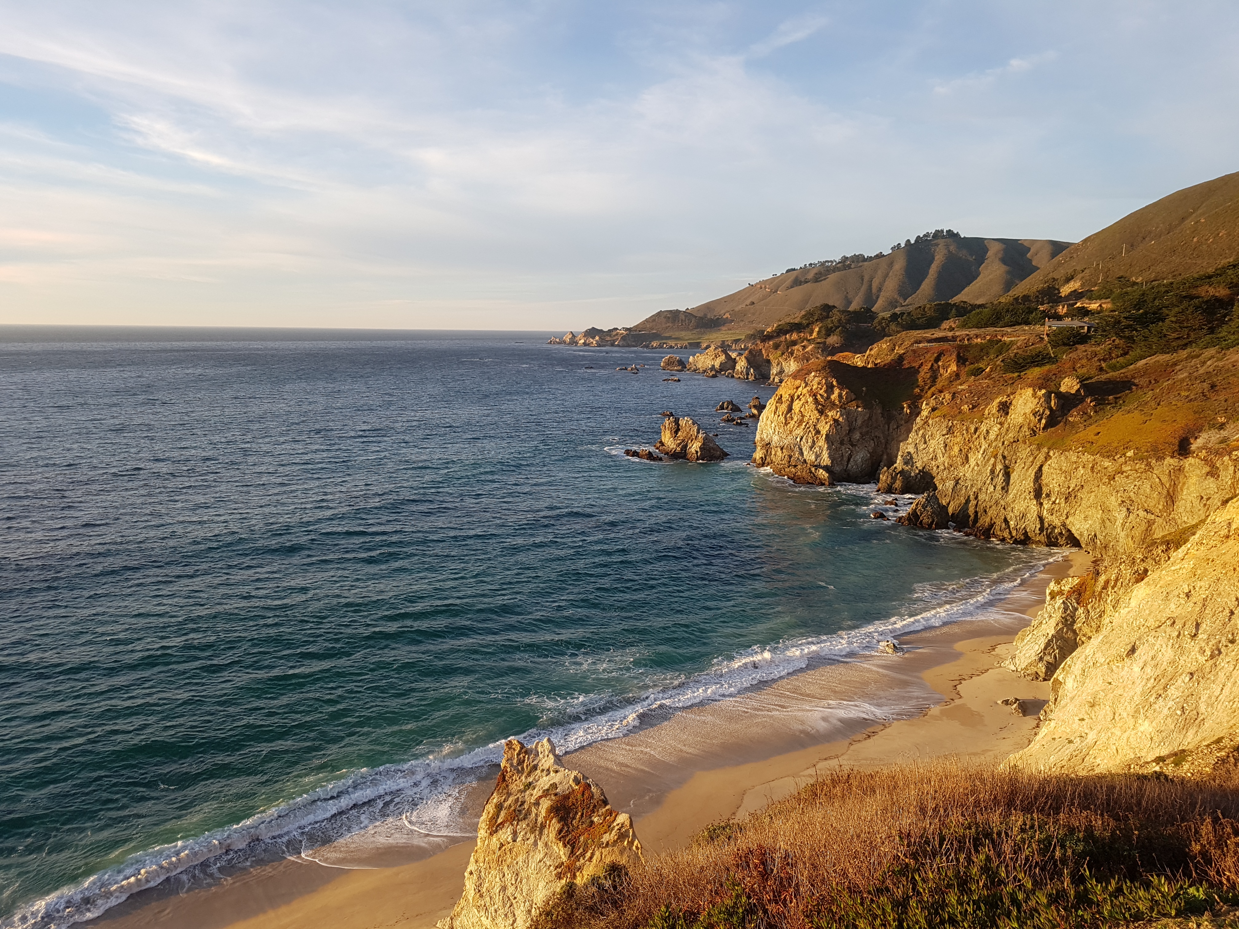
The section of Highway 1 running through Big Sur is widely considered one of the most scenic driving routes in the United States and right up there with driving through the Swiss Alps.
Little wonder also, Big Sur is a firm favourite among motor-cycles riders and in 2014, Highway 1 was named by the American Automobile Association as the most popular drive in California.
According to Wikipedia most of the 4 to 5 million tourists who currently visit Big Sur each year never leave Highway 1, because the adjacent Santa Lucia Range is one of the largest roadless coastal areas in the entire United States; Highway 1 offers the only paved access into and out of the region.
The view from the Bixley Bridge (Photo – www.golfbytourmiss.com)
The beauty of the scenery along the narrow, two-lane road naturally attracts enormous crowds during summer vacation periods and holiday weekends, and traffic is frequently slow.
The highway winds along the western flank of the mountains mostly within sight of the Pacific Ocean, varying from near sea level up to a 1,000-foot (300 m) sheer drop to the water. Most of the highway is extremely narrow, with tight curves, steep shoulders and blind turns. The route offers few or no passing lanes and, along some stretches, very few pullouts.
LOOKING BACK ON 2018 and some of the best places visted away from golf
(and not in any particular order) 👍😍1. Big Sur/Highway 1 @VisitCaIifornia @Visit_Cali #highway1 #bigsur #pacificcoasthighway #westcoast
See – https://t.co/lPn02lkAvB pic.twitter.com/4969aCVNaZ
— Fatiha (@TOURMISS) December 30, 2018
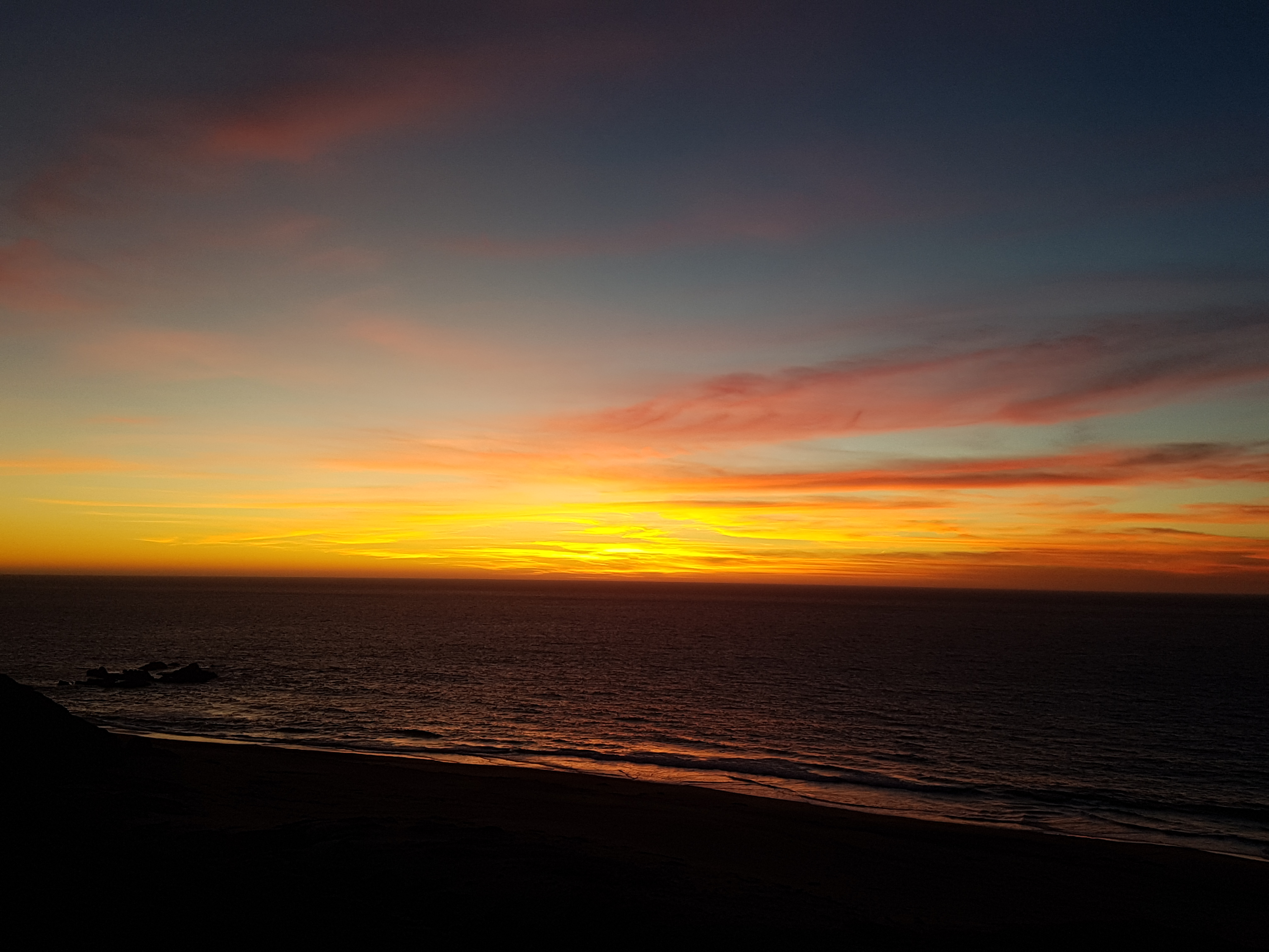
The highlight on our short drive down Highway 1 was stopping near on sunset at Rocky Creek Bridge and located at mile marker 60
The bridge was completed in 1932 and the same year the famed Sydney Harbour Bridge was opened.
For the bridge enthusiastics reading this a staggering 45,000 individual sacks of cement had to be hauled up the framework—and this is before advanced heavy machinery could help do the lifting. Each bag was transported via a system of platforms and slings suspended by cables 300 feet above the creek.
Curiously, the span was completed before the road, and it would be five more years before the route linking Carmel (about 15 miles to the north) to San Luis Obispo would even be opened.
One word of advice before heading down this section of Highway 1 and that is to fill-up your car with gas before driving down Big Sur.
Yes, there is a number of gas stations along the route but at around $4.50/gallon it is a strong reason not be caught out.


